
A boundary survey (also known as a property survey) is a way to formally define the boundaries of a property. It focuses largely on defining the corners of a parcel of land. People generally commission boundary surveys before buying, dividing, improving, or building on land. After a boundary survey is complete, a land surveyor will create a drawing, create a legal description, and provide a surveyor’s report.
Description.

An ALTA survey is the most detailed form of survey available. ALTA’s are generally used in the transfer of ownership of commercial property, but may be used in other situations as well. Typically, zoning information, building height and setback requirements, underground utilities, parking stripes and adjoiner information are included as part of the ALTA.

Topographic surveys are required by many local government bodies to measure and map the shape, contour and location of land features and man-made objects on the surface of the land and below bodies of water. Together with a boundary survey, topographic surveys are used by architects and engineers to create accurate and appropriate designs based on existing conditions.

Route surveying includes the field and office work required to plan, design, and lay out any “long and narrow” transportation facility. These jobs may be for roadways, railroads, levees and more!
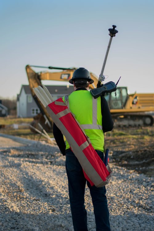
Construction surveyors make measurements and recommendations to engineers, architects and other professionals at all stages of construction. A few items that may be laid out or staked include: utilities, roads, buildings and much more! After projects complete, surveyors come back and verify the locations verse the plans.

While other surveys provide details about the parcel of land itself, an as-built survey provides details about structures being built or recently completed upon the property. As-built surveys can be ordered at various phases of larger building projects to ensure construction is progressing according to plan, but a final as-built survey will be needed to verify completed work and ensure that the structure satisfies requirements of local government authorities.

A licensed land surveyor can prepare adequate land descriptions for new parcels or locate boundaries as described in existing deeds.

An easement is the right to use, cross or access another’s piece of land without assuming ownership. Easements are commonly granted to utility companies (utility easements) to run various lines across the land. Some may affect where you can place fences or other structures on your property and can also be used for roadways and other uses for access as well.